
पश्चिम बंगाल: संक्षिप्त विवरण | विवरण | जानकारी | |---|---| | स्थापना वर्ष | 15 अगस्त, 1947 (भारत की स्वतंत्रता के बाद बंगाल प्रांत के विभाजन पर गठित)। औपचारिक रूप से राज्य के रूप में: 26 जनवरी, 1950। | | राजधानी | क�...Read More
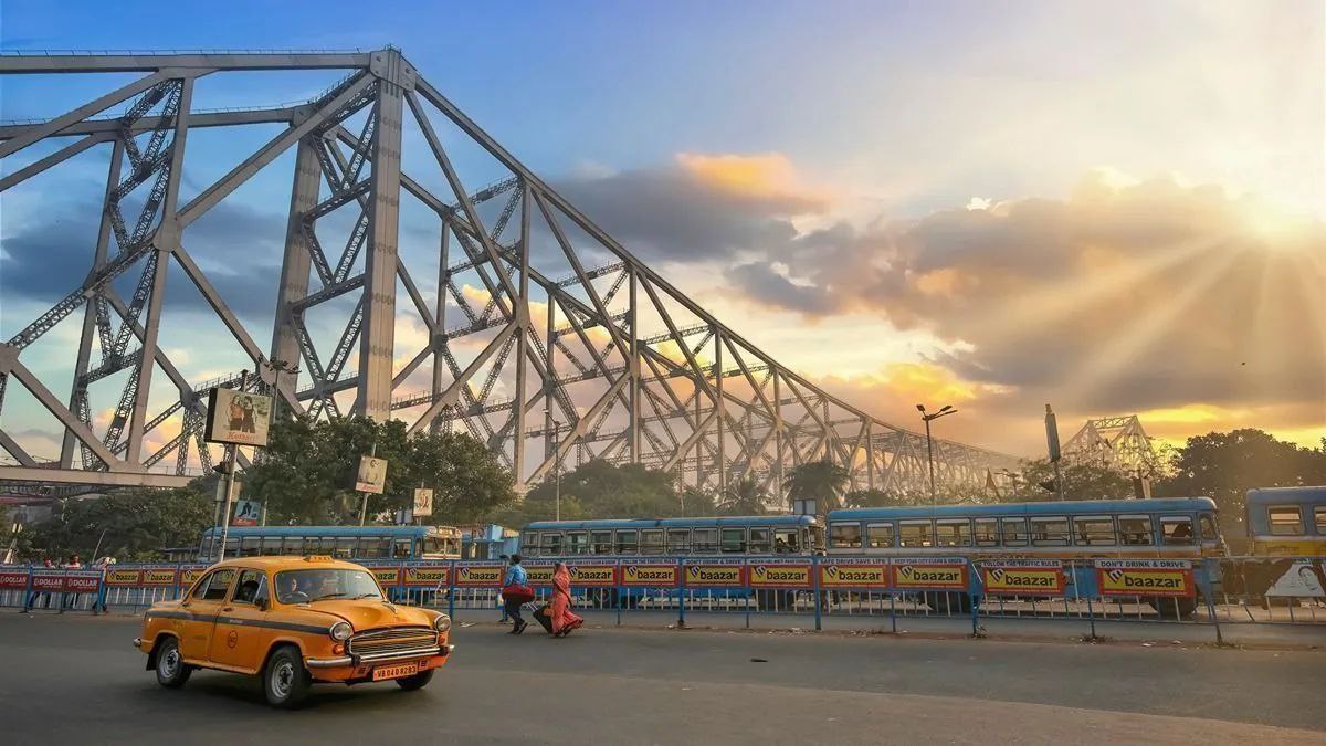
Establishment and Location * Establishment Year: West Bengal was formed on August 15, 1947, following the partition of the Bengal province of British India along religious lines. It officially became a state of the Republic of India on January 26, 1950. * Borders: * Countries: It shares international borders with Bangladesh to the east, and Nepal and Bhutan to the north. * Indian States: It borders five Indian states: Sikkim, Bihar, Jharkhand, Odisha (Orissa), and Assam. ...Read More

नागालैंड एक भारतीय राज्य है जो अपनी विशिष्ट जनजातीय संस्कृतियों और ऐतिहासिक महत्व के लिए जाना जाता है। स्थापना और भूगोल * स्थापना वर्ष: नागालैंड को औपचारिक रूप से 1 दिसंबर, 1963 को भारतीय संघ के...Read More
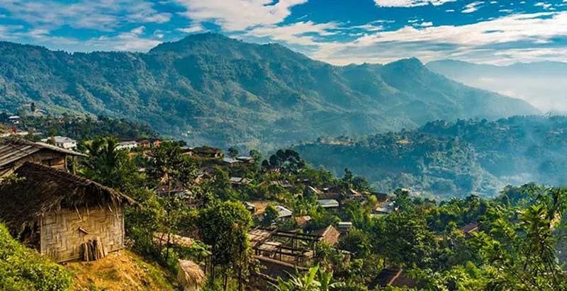
Nagaland is an Indian state in the Northeast, known for its distinct tribal cultures and historical significance. Establishment and Geography * Establishment Year: Nagaland was formally inaugurated on December 1, 1963, as the 16th State of the Indian Union. * Borders: * West: Assam * East: Myanmar (Burma) * North: Arunachal Pradesh and part of Assam * South: Manipur * Area: 16,579 square kilometers. * Capital: Kohima. Demographics * Population (2011 Censu...Read More

त्रिपुरा पूर्वोत्तर भारत में स्थित एक राज्य है, जिसे 21 जनवरी, 1972 को पूर्ण राज्य का दर्जा मिला। इससे पहले, 15 अक्टूबर 1949 को भारतीय संघ में विलय के बाद यह 1 नवंबर 1956 से केंद्र शासित प्रदेश था। भौगोलिक �...Read More
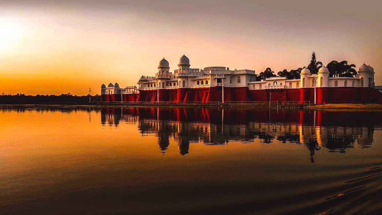
Tripura, located in Northeast India, became a full-fledged state on January 21, 1972. Prior to this, it was a Union Territory from November 1, 1956, after merging with the Indian Union on October 15, 1949. Geographical and Demographic Details | Particular | Detail | |---|---| | Borders | Bordered on the north, west, and south by Bangladesh. It shares a border on the east with the states of Assam and Mizoram. | | Population | 3,671,032 (as per Census 2011). Estimates for 2025 are around 4,22...Read More

General Information * Establishment Year: Mizoram officially attained statehood on February 20, 1987. * Note: It was a Union Territory from 1972 to 1987, and before that, it was the Lushai Hills District of Assam. * Borders: * International Borders: It shares a border with Myanmar (to the east and south) and Bangladesh (to the west). * Inter-State Borders: It shares borders with the Indian states of Tripura (to the northwest), Assam (to the north), and Manipur (to the nor...Read More
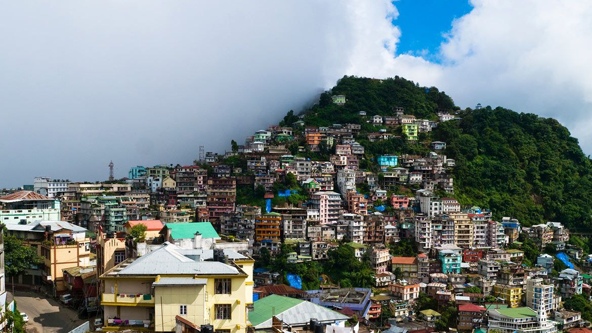
सामान्य जानकारी (General Information) * स्थापना वर्ष (Establishment Year): मिजोरम को आधिकारिक तौर पर 20 फरवरी, 1987 को राज्य का दर्जा प्राप्त हुआ। * ध्यान दें: यह 1972 से 1987 तक केंद्र शासित प्रदेश (Union Territory) था, और उससे पहले यह असम �...Read More

General Information * Establishment Year as a State: Manipur was granted full statehood on January 21, 1972. It was a Union Territory from 1956 to 1972 and was merged into the Indian Union in 1949 after being a princely state under British paramountcy. * Borders: Manipur is a landlocked state. It borders: * Nagaland to the north. * Assam to the west. * Mizoram to the southwest. * Myanmar (Burma) to the east and south. * Population (2011 Census): The total populat...Read More
मणिपुर: सामान्य जानकारी * राज्य का दर्जा मिलने का वर्ष: मणिपुर को 21 जनवरी, 1972 को पूर्ण राज्य का दर्जा दिया गया था। भारतीय संघ में इसका विलय 1949 में हुआ था। * सीमाएँ: मणिपुर एक भू-आबद्ध (Landlocked) राज्य है...Read More